Explore the Fort Miamis virtual tour.
The Fallen Timbers Battlefield Trail
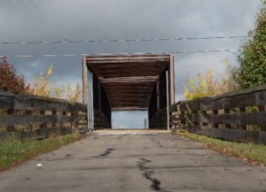
The Battlefield Trail begins at the Fallen Timbers Monument site, where the battle was originally thought to have taken place. It crosses a pedestrian bridge over the Anthony Wayne Trail, named for the General who led U.S. Legion forces in the battle for control of this territory.
The present-day Anthony Wayne Trail follows the path of Wayne and his forces from Fort Defiance to the battlefield and from the battlefield back to what is now Fort Wayne, Indiana.
Fallen Timbers Battlefield
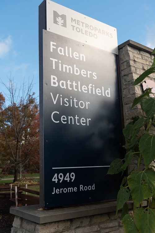
Visitors can also access the battlefield site directly from Jerome Road and walk the 1.5-mile loop around the Northwest Territory Trail.
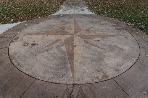
The compass located at the entrance of the park leads to the beginning of the Battlefield Trail.
Native Forces
After the Revolutionary War, the Northwest Territory – including what is, today, the state of Ohio – formed the western border of the United States. As settlers moved in and claimed new lands, Native American Nations in the Great Lakes region banded together to protect their homelands. Most warriors in the Western Confederacy came from these Native Nations:
- Wyandot
- Delaware
- Ottawa
- Miami
- Shawnee
- Mingo
- Potawatomi
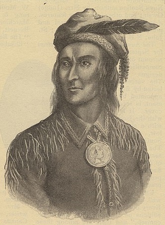
Tecumseh | Shawnee Chief
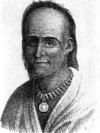
Michikinikwa, known as Little Turtle | Miami Chief
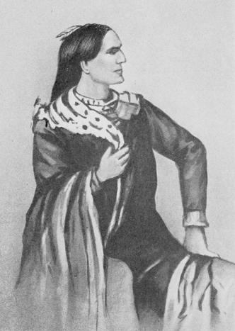
Tarhe, known as The Crane | Wyandot Chief
Native Allies
Native forces were supported in their fighting efforts by the Canadian Militia, represented in the illustration here. This is not a historically accurate illustration, but it is included here to illustrate their involvement in the battle.
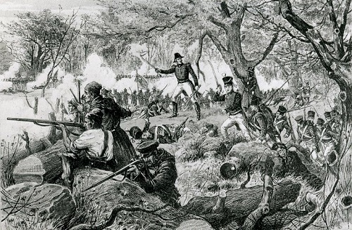
Location Matters
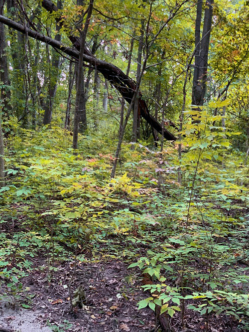
Native forces chose this place as the battle location. The area had previously been hit by a strong tornado that felled a number of trees in the forest, which provided good cover, but would also prove challenging for the Legion under Wayne's command.
U.S. Legion Forces
Following the defeats of U.S. Generals Harmar and St. Clair in previous conflicts with the Native forces, President George Washington recalled General Anthony Wayne from retirement to lead a new U.S. fighting force. Over a two-year period, Gen. Wayne trained and marched 3,500 men – 2,000 Legionnaires and 1,500 Militia – to Northwest Ohio.
The Legion of the United States was the name given to the U.S. armed forces in 1792 after Congress passed a law allowing the creation of a large standing army. A Legion is divided into four equally sized units, called Sub-Legions, that includes a detachment of mounted troops, infantry and light artillery.
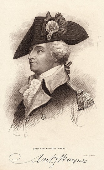
General Anthony Wayne
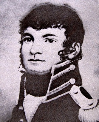
William Wells, Principal Spy for Wayne's Legion
U.S. Legion Forces Location Pre-Battle
By August 18th, Wayne's troops had reached Roche de Bout on the Maumee River and set about building Fort Deposit near what is now Farnsworth Metropark.
Just beyond this bridge is where the main body of Wayne’s Legion gathered as it moved into position to meet the Native Forces, who had been in position since August 19th.
Between finishing construction and a thunderstorm that moved through the area on the morning of the battle (August 20, 1794), Wayne's troops got a later start to their march than originally planned.
These delays had a negative impact on the Native forces of the Western Confederacy, who practiced a fasting ritual to get ready for battle. A near two-day wait for Wayne's troops to arrive left many of the warriors hungry and dehydrated. Some left to find food and others went to check on their families following the thunderstorm.
Militia Support for U.S. Legion Forces
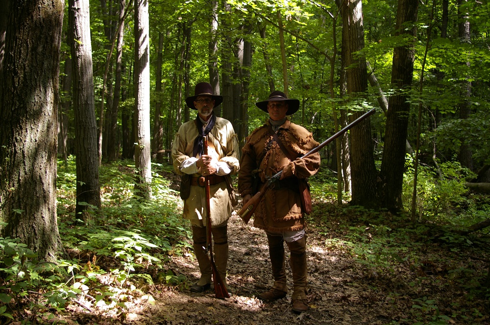
This image, taken during the 225th Anniversary Reenactment, represents members of the Kentucky Militia that were included in Wayne's forces.
Native Forces Location Pre-Battle
On August 19, 1794, about 1,300 warriors of the Western Confederacy made their way to advantageous ground near what is now Ford St. in Maumee to wait and prepare for battle.
Wayne's troops had arrived in the area on August 18th and hastily built Fort Deposit. Further delaying the start of the battle was a thunderstorm that moved through the area on the morning of August 20th, causing Wayne's troops got a later start to their march than originally planned.
Native forces, who practiced a fasting ritual to get ready for battle, had been in position for more than a day at this point and the delays left them hungry and dehydrated. Some left to find food and others went to check on their families following the thunderstorm.
Battle Commences
From Fort Deposit, Wayne's troops marched for nearly four miles before the forward guard fired shots to signal the presence of Native scouts.
The two forces advanced toward one another, meeting in this wide prairie area just beyond the present-day woods.
"They [Native forces] formed a line one flank touching the River, the other extending into the woods. A part of the left was in the prairies, covered in the front by some ponds." (208 - 209)
Wells also warned Wayne not to let the Legion be outflanked on his left side as he advanced, suggesting that he send four of the army musicians, "into the wood to make it appear that the left wing was trying to flank them - thus the Indians were made thin near the River, as planned by Wells." (209)
- Heath, William. William Wells and the Struggle for the Old Northwest. Norman: University of Oklahoma, 2015.
When the battle finally began, it lasted less than two hours – with only about 45 minutes of direct engagement. Though losses were equal on both sides, the Native forces were discouraged by rumors of eight slain Chiefs and retreated.
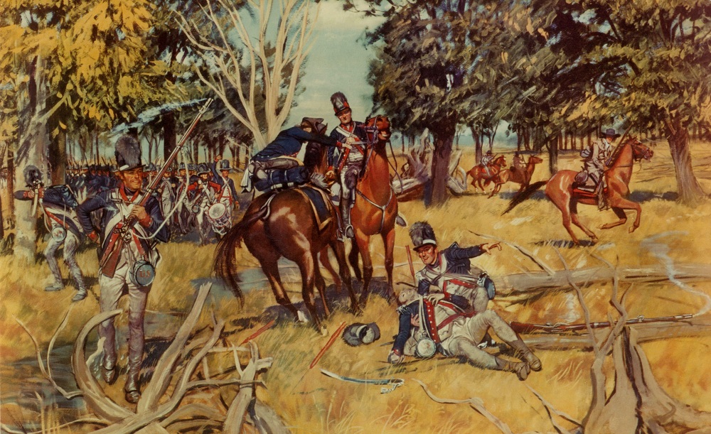
The Road to Fallen Timbers, a poster commissioned by the Department of the Army in 1953, was created by Hugh Charles McBarron Jr. McBarron was an American commercial artist known for his wide body of work featuring the United States Armed Forces and his commitment to historical accuracy.
These images, from the film "Decisive Battles, The Battle of Fallen Timbers" depict the U.S. and Native forces engaged in battle. You can watch the trailer for the film, a 1999 documentary that first appeared on The History Channel, on YouTube here.
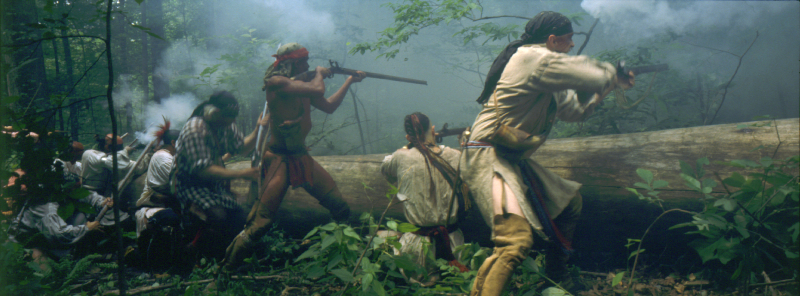
Native Forces as Represented in the Film
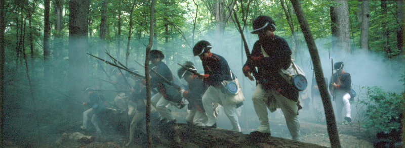
U.S. Forces as Represented in the Film
Archaeological Artifacts from the Battle
The battle was originally thought to have taken place on the floodplain near the area where the monument was erected. When British forces burned Washington D.C. on August 24, 1814, during the War of 1812, many of the primary records related to the Battle of Fallen Timbers were lost.
In the 1980s, archaeologist G. Michael Pratt, Ph. D. conducted research at Fort Miamis, reviewed period journals – including Gen. Wayne's first-hand accounts that hadn't made it to Washington and were spared from the fire – and performed an analysis of military strategy, which led him to theorize that the Battle of Fallen Timbers encompassed a wider area than previously thought.
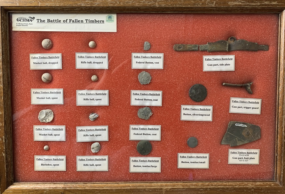
The announcement of impending commercial development within this expanded area spurred further archaeological analysis to pinpoint the location of the battle, and in 1995, Dr. Pratt’s investigation yielded significant evidence that the battle took place above the flood plain in this prairie area. Some of the artifacts uncovered during this survey are pictured below. The groupings in which these artifacts were found helped determine this to be the actual site of the battle.
The Fallen Timbers Battlefield Preservation Commission, in concert with local elected officials and the Toledo Blade, orchestrated a successful campaign to protect the site from development and purchased the land using local, state and federal public funds to preserve the area for future generations.
*Note: it is a violation of federal law for individuals to use metal detectors on this site.
